-40%
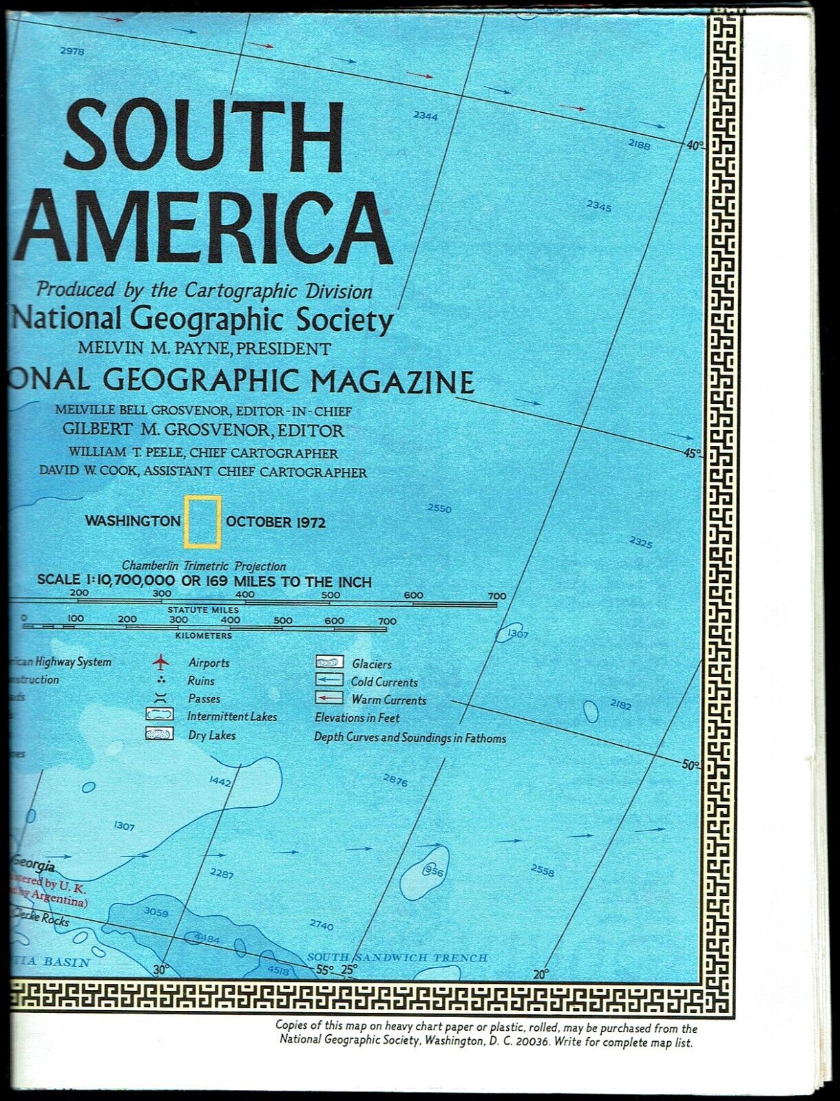
1972-10 October SOUTH AMERICA National Geographic Map Poster - B (A)
$ 1.84
- Description
- Size Guide
Description
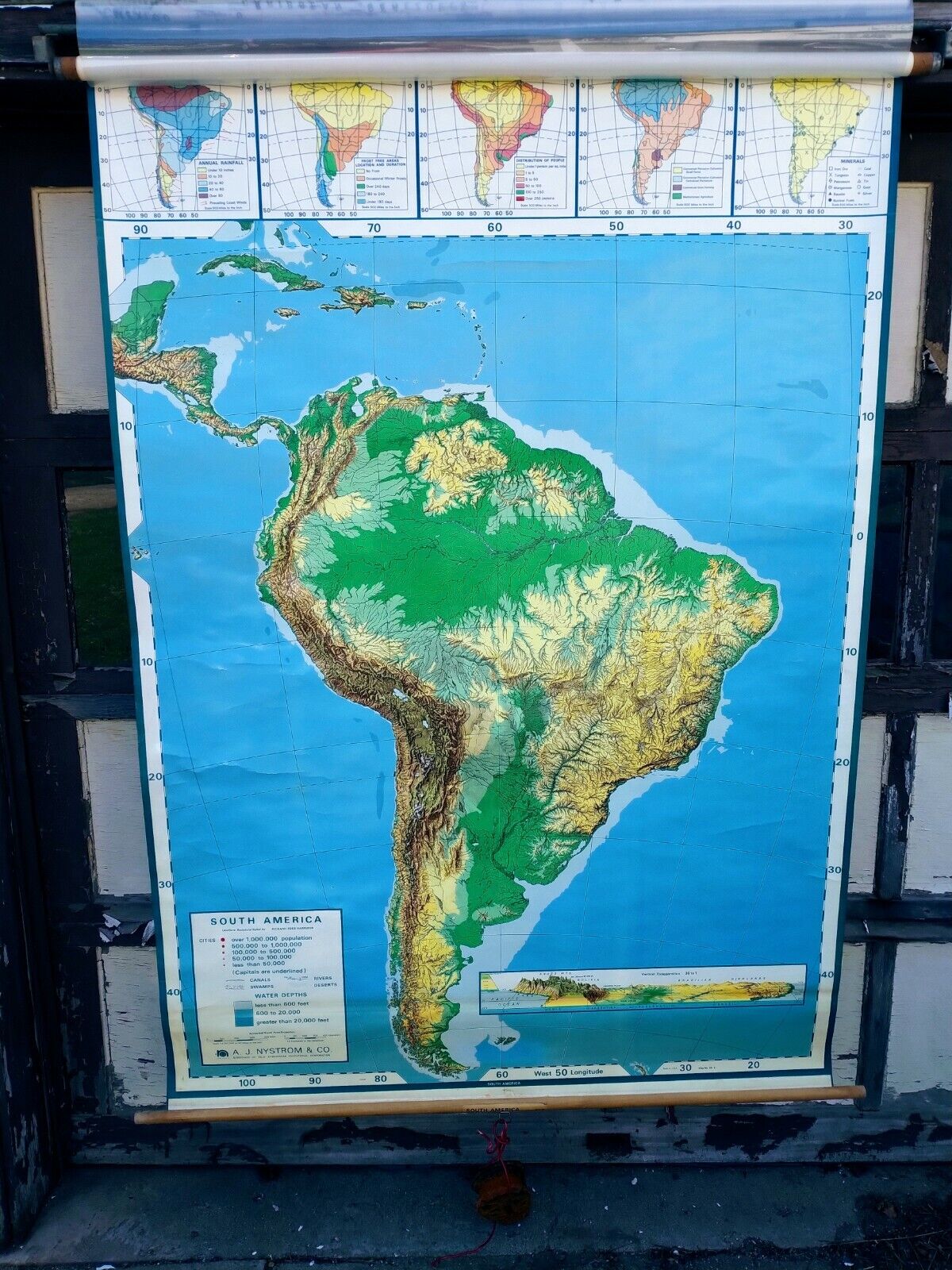
1972-10 SOUTH AMERICA - National Geographic Map PosterSouth America: A continent of contrast shaped by history and geography. On one-side of this National Geographic map is a political map (showing national borders) of South America, while the reverse-side contains a physical map of the continent showing elevations. There are several map insets of South America showing areas of mining and industry, land use and population density, and climate. In addition, there are maps of South America showing habitation before Columbus, during the age of discovery and conquest, and the wars for independence, with a discussion of each.
Map is approximately 23” x 31”.
The N
ational Geographic is known for it's fine maps & detailed information.
Supplement to the National Geographic Magazine; magazine is not included.
U.S. economy domestic shipping (normally 3-10 business days) is FREE; faster service is available if needed.
International shipping is by weight - contact us for discounted shipping rates before you purchase.
